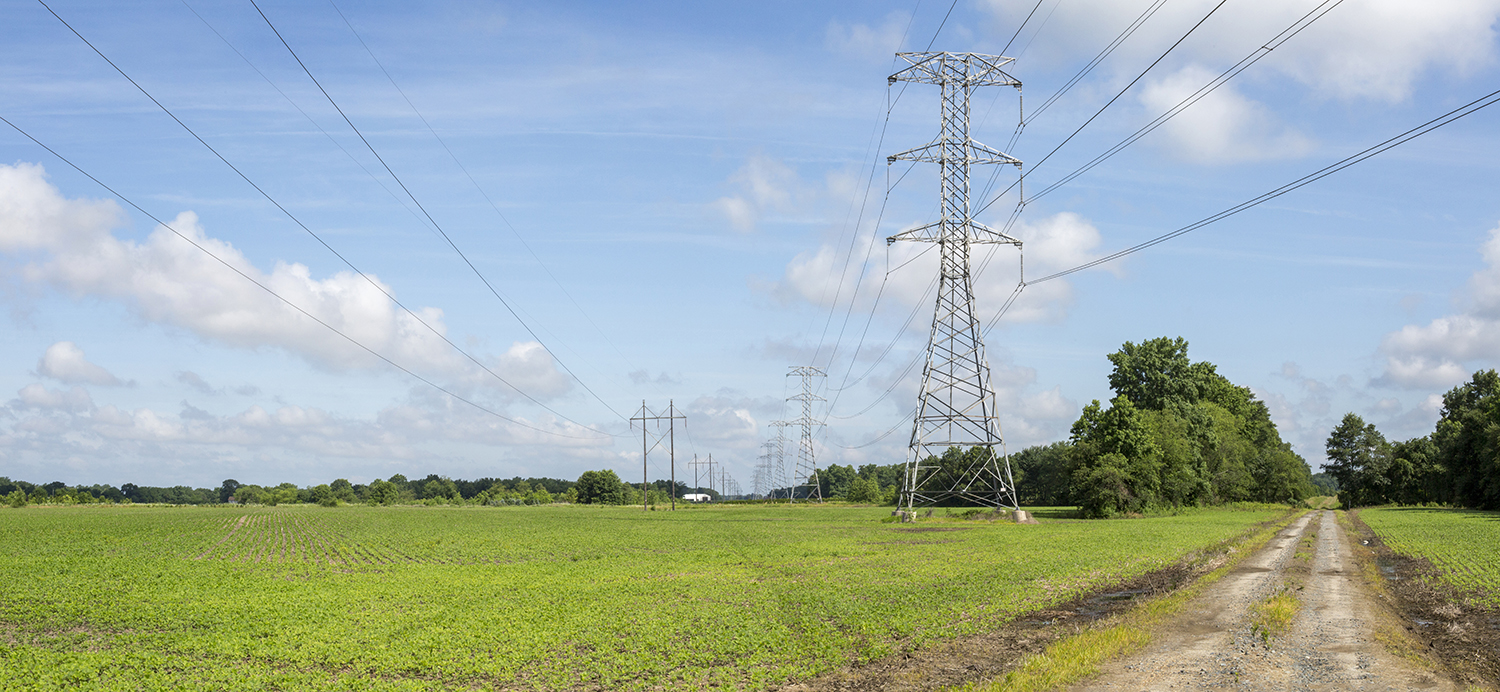
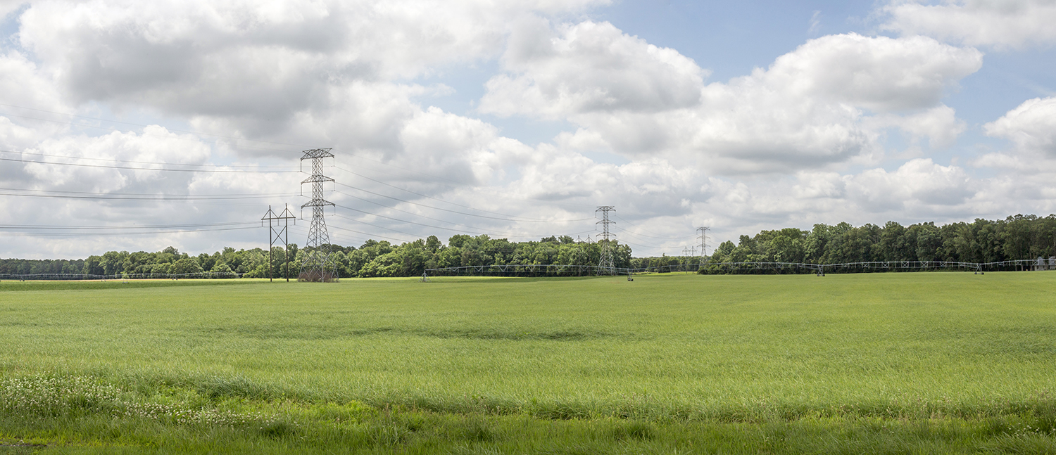
TOGGLE LAYERS
Project Components
Proposed Poles
Existing Poles
Right-of-Way
Right-of-Way Centerline
One mile boundary around ROW
October ERD Submittal
Limits of Disturbance
Access Pads
January JPA Submittal
Limits of Disturbance
Access Pads
Vegetation Management
April JPA Submittal
Limits of Disturbance
Tree Clearing
Proposed Poles
Vegetation Management
Point of Interests
School
Fire Station
Police Station
Green Infrastructure
Green Infrastructure - Corridors
Green Infrastructure - Hubs
Cultural
Historic Preservations Easements
Historic Properties
Stories of the Chesapeake Certified Heritage Area
Land Use
Soils
Wetlands
Wetlands of Special State Concern
Delineated Wetlands - October ERD Submittal
Delineated Wetlands - January JPA Submittal
DNR Wetlands**
** DNR Wetlands shown only outside of Right-of-Way
Wildlife
Sensitive Species
Forest Interior Dwelling Species
Maryland Biological Stream Survey Index of Biotic Integrity
Water Resources
Delineated Waters of the US
USGS Groundwater Wells
Streams
NHD Waterbodies
100 Year Flood Plain
12 Digit Watershed
Critical Area
Tier II Catchment Area
Photo Simulations
Layers Opacity:
Church to Steele Interactive Map
LAYERS
CLOSE
KOP 1
•
Date
:
6/26/2014
•
Time
:
9:30 AM
•
View Direction
:
Southeast
Photo Simulations are for discussion purposes only and may change pending public, regulatory, and utility review.
CLOSE
KOP 2
•
Date
:
6/26/2014
•
Time
9:49 AM
•
View Direction
:
North
Photo Simulations are for discussion purposes only and may change pending public, regulatory, and utility review.
CLOSE
KOP 3
•
Date
:
6/26/2014
•
Time
:
10:26 AM
•
View Direction
:
Northwest
Photo Simulations are for discussion purposes only and may change pending public, regulatory, and utility review.
CLOSE
KOP 4
•
Date
:
6/26/2014
•
Time
:
10:56 AM
•
View Direction
:
North
Photo Simulations are for discussion purposes only and may change pending public, regulatory, and utility review.
CLOSE
KOP 5
•
Date
:
6/26/2014
•
Time
:
11:17 AM
•
View Direction
:
Southwest
Photo Simulations are for discussion purposes only and may change pending public, regulatory, and utility review.
CLOSE
KOP 6
•
Date
:
6/26/2014
•
Time
:
11:23 AM
•
View Direction
:
South
Photo Simulations are for discussion purposes only and may change pending public, regulatory, and utility review.
CLOSE
KOP 7
•
Date
:
6/26/2014
•
Time
:
11:43 AM
•
View Direction
:
Northeast
Photo Simulations are for discussion purposes only and may change pending public, regulatory, and utility review.